影片說明
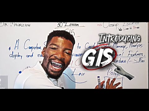
Sir Mnumzane Presents: Why GIS is Cooler Than You Think!
Think maps are just for directions? Think again! ?
In this video, we’ll explore how Geographic Information Systems (GIS) are used to fight wildfires, track climate change, build smart cities, and even help save lives. Whether you love tech, geography, or just solving real-world problems—GIS is way cooler than you think.
? Perfect for high school students, teachers, and curious minds.
? Topics Covered:
What is GIS?
How GIS works (in simple terms)
Cool examples of GIS in action
Careers that use GIS
GIS Components: Hardware, Software, Data, and People
Spatial Data: Types and Structure (Raster vs Vector)
GIS Objects: Points, Lines, Polygons, and Attributes
Spatial Resolution: Understanding the Importance of Detail in GIS Mapping
Applications of GIS: From Urban Planning to Environmental Monitoring
Stay tuned for real-world examples of GIS applications in various fields, such as disaster management, urban planning, and environmental conservation.
? Don’t forget to subscribe and hit the bell icon for more tutorials and insights on GIS and geography!
#GIS #Geography #SpatialData #GISMapping #DataAnalysis #UrbanPlanning #EnvironmentalGIS #GeographicInformationSystems #GISObjects #SpatialResolution #GISforBeginners #GISApplications #Mapping #GeographyTechnology #GISinAction #GISTutorial #paper2 #mapwork #map